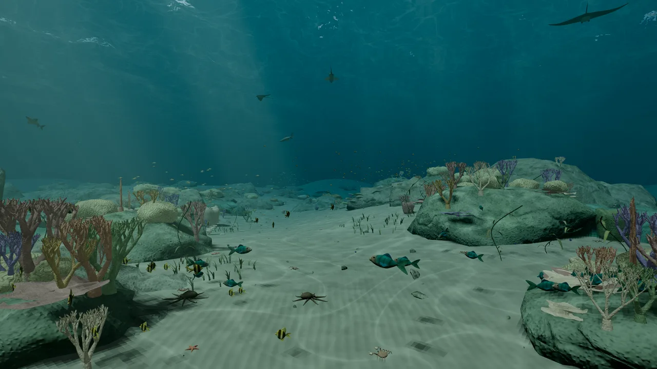
The Windows alpha runs locally in Unreal Engine. One EXE contains the launcher and required game files together. No Unreal Editor or Epic account is required to play.
WINDOWS ALPHA - 0.3.6Earth foundation repair. Version 0.3.6 focuses on the Helsinki test district: ground and roads share terrain triangles, fragmented street runs are joined without dropping mapped segments, and generated facades gain more restrained finishes and small roof details. Earth terrain blends into the existing overview imagery before the orbital transition and shares its active sunlight direction. Fictional test systems are removed from ordinary destination browsing. This is still an early prototype: street grades, intersections, building appearance, clouds and worldwide detail need further work. No new geographic coverage is claimed.
Download Windows EXE - 1.01 GBDouble-click Motherlode.exe. On its first launch it checks and prepares the bundled files automatically; later launches reuse that local cache. No manual extraction or Unreal Editor is needed. The EXE still includes the full game download. Windows 64-bit and DirectX 12 / Shader Model 6 are required.
M opens the location selector, including USA states, 36 detailed district samples, six ocean destinations, generated settlements, Mercury, Venus and Mars. Ocean arrivals start above the surface; Q dives toward the seabed. State arrivals begin above a mapped road; Q descends. Alabama, Florida and Georgia include local Census roads and generated roadside detail; other states retain major-road coverage. Global swell responds to weather presets. Earth uses real physical scale; boosted flight and assisted journeys accelerate exploration. K selects a journey destination; U starts or cancels assisted travel. G visits or exits the demonstration apartment near Helsinki home; R returns home. F7 opens weather controls. Hold Space + Shift in flight to climb; 328,084 feet / 100 km marks the space reference. Q descends toward the ground; F switches flight/walking; F3 starts Moon travel and F4 returns to playable Earth. F12 focuses the Earth or Moon; the wheel adjusts optical zoom in that view. Moon arrivals now face the Earth, and deep-space Shift boost is faster.
Early alpha: US road widths and terrain draping are generated; bridges, tunnels, junctions and driving routes remain unfinished. Earth terrain combines coarse elevation with generated relief; a Georgia-Alabama-Florida corridor uses resampled USGS elevation. The thirty-six detailed locations are bounded district samples, not full cities. Overture/OpenStreetMap footprints and roads combine with simplified Helsinki and Swiss surveyed geometry where available. A small Helsinki area uses measured 2021 terrain and mapped shoreline; other districts retain approximate elevation. Facades and street props are generated, not photographic. Helsinki seabed depth is a placeholder. Global marine depths use coarse 0.1-degree source samples with procedural relief, with finer 15-arcsecond NOAA patches around Vancouver, Auckland and Mariana; coastlines and trenches are approximate. Terrain and district geometry prepare in background jobs; startup, uploads and remaining main-thread work can still pause. Solar System positions are frozen to 25 September 2026 using NASA/JPL data. The Moon, Mercury, Venus and Mars have procedural landing terrain; the outer planets are now atmospheric flight destinations with preliminary visuals, and fictional test systems are retained internally only for compatibility. Observed extrasolar systems are future catalog work. Rocky worlds retain basic generated surface materials. Venus and Mars now have prototype scattering profiles; scientifically calibrated atmospheres and planet cloud layers remain unfinished. Orbits do not evolve. The single apartment is invented, not a reconstruction. Marine life now generates around global ocean visits using depth and latitude rules; this is a prototype ecosystem. Further interiors remain future work.
Release notes, controls and SHA-256
Settlement-center catalog: Natural Earth (public domain). District geography: © OpenStreetMap contributors and Overture contributors; Helsinki 3D and City Survey Services terrain/coastline (CC BY 4.0); © swisstopo. Dataset-specific notices are included. Geographic source and derived data · Updated Helsinki terrain and streets · Regional NOAA relief data and notice · Attribution and license. Generated surface detail runs on your computer. US roads: US Census Bureau TIGER/Line 2025. Road-source manifest and checksums. Geographic cell caching is capped at 256 MB; bundled districts work offline, while uncached national roads need internet. This build uses no paid ion streaming.